


Winter Storm Landon: Prepare for the worst
Possibly record snowstorm on its way; EMA says take action now

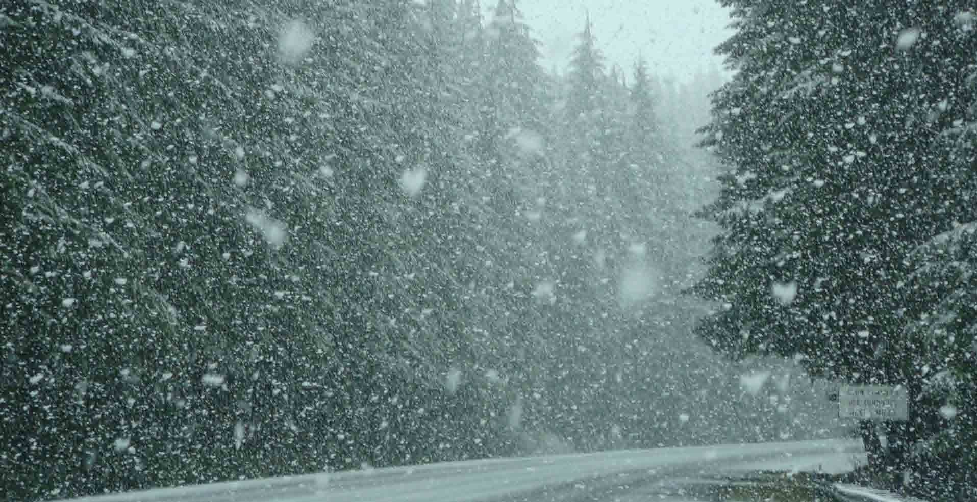
Snow is coming. A lot of it. The French toast aficionados are wiping grocery shelves clean of eggs, milk, and bread. And this time it appears that caution is warranted, as the prediction models for Winter Storm Landon place precipitation totals between 17-24 inches of the white stuff.
Howard County Emergency Management Agency Director Janice Hart hopes that people take proper precautions in light of a potentially historic storm bearing down on Kokomo and the surrounding community. Now is the time to act, she says, so that everyone stays safe once the storm hits.
“I think we’re always prepared and planning,” said Hart. “We are talking with our community partners. I’ve spoken with the Red Cross and the Kokomo Rescue Mission. We need to be in a position that if I need to call for the opening of a shelter, all it takes is a flip of the switch.
“Of course, it can’t happen that quickly, but we want to have the locations prepared. Our volunteers are as ready as they can be. Now we sit back and wait.”
Hart said the snow declarations and travel advisories have been reviewed. Fortunately, not much has changed in that regard. If and when the need arises, local officials may declare a snow emergency, meaning that travel is unsafe and should not be risked. Those who disregard the warnings might find themselves stuck, or worse, may impede emergency workers from doing their job quickly and effectively.
“People are supposed to stay off the roads when we call an emergency,” said Hart. “They need to understand that even on a watch, we’re saying that you need to minimize travel. You have street and highway departments out there trying to clear the roadways so that you can get from Point A to Point B.
“But, if you are out there, you impact the workers’ ability to get the roads cleared, whether you’re just in the way, your car stalls out, you get stuck, or cause an accident. It makes it harder to get the job done.”
Because there is plenty of advance warning that a snowstorm is heading this way, Hart is hoping that people are preparing now. Waiting until Tuesday evening may be too late.
“Please plan accordingly,” said Hart. “Make your supply runs now. Get it done. When we get to Tuesday night, Wednesday, Thursday, let the street and highway workers do their jobs so we can get you back on the roads safely.”
Hart is also hopeful that the storm tracks far enough south that it actually does produce snow. Should it track north and place Howard County on the edge of the weather system, the snow totals become ice accumulation instead. That can spell disaster. Just one inch of ice can knock out power to thousands and make roads wildly dangerous. Of course, these things can happen with snow as well, but it is less likely.
“The good part about snow is, once we get through the storm, it’s a couple days of clean-up,” said Hart. “We pray there are no power outages, which might be wishful thinking. Power outages typically are our biggest issues. That’s why we need the shelters set in place.”
If you or someone you know or love experiences a power outage and needs assistance, Hart encourages citizens to call EMA at (765) 456-2242 at any time during the event. The emergency operations center will be open non-stop. But patience may be needed.
“Bear in mind that we’re probably going to be transporting emergency personnel to the hospitals and nursing homes at the same time,” said Hart. “So, you should have a plan in place for if your power goes out. Hopefully, you can call a neighbor or family member for help. Everybody should be checking on each other -- on your neighbors, the elderly, your family members -- just to make sure everyone is safe.”
Is this the Big One?
How big is this storm, compared to past snow events? It’s too early to say, but if the projected snow totals do happen, Winter Storm Landon will be one for the record books.
Jan. 4-7, 2014, was the last time Howard County experienced a heavy snowfall. According to the National Weather Service (NWS), that storm dumped approximately 10 inches of snow on the community – roughly half of what is predicted for the area this time.
But the big snow event that is most remembered locally is the blizzard of 1978. Over three days, more than 20 inches of snow fell on Howard County, along with 50 mph winds and bone-chilling cold temperatures. It is this storm that is recalled whenever a large snowstorm hits the area.
This event likely will not qualify as a blizzard, despite the potential record snowfall that could exceed the 1978 total. According to the NWS, a winter storm must include sustained winds or frequent gusts of 35 mph or greater. Alternately, if visibility is reduced to less than one-quarter mile for more than three hours, the blizzard label can be applied.
The top predicted wind speed on this storm is just 20 mph. That means smaller snowdrifts and likely better visibility than in 1978. But who knows? This could be the storm that finally puts 1978 to rest and becomes the legendary snow event for a new generation.